Architect (M.A) Alanya Alaaddin Keykubat University
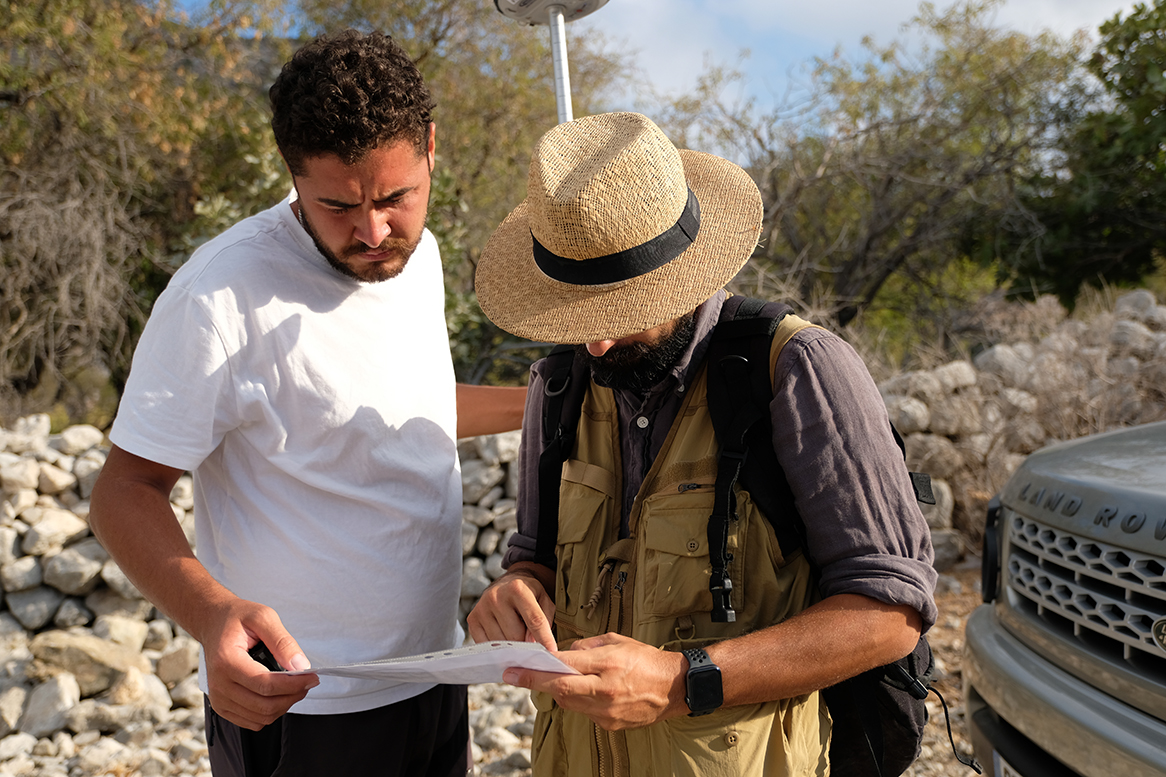
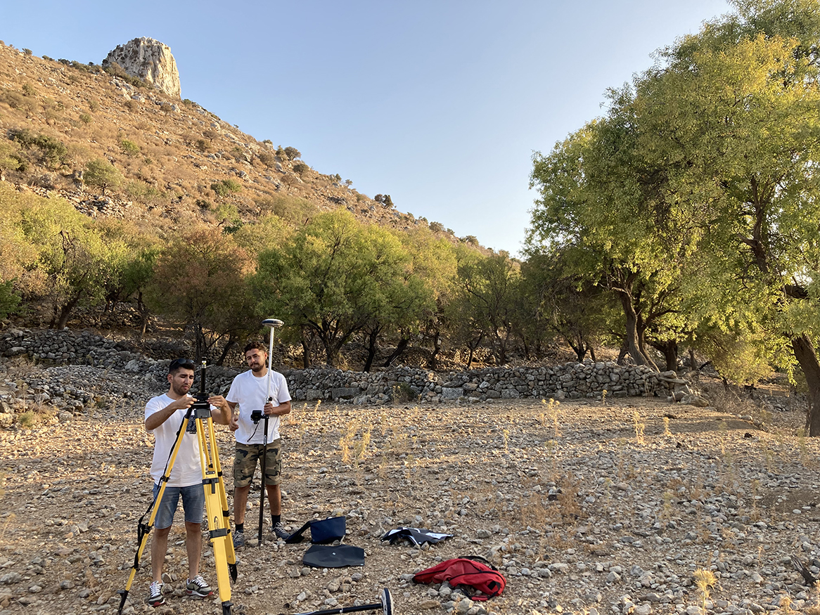
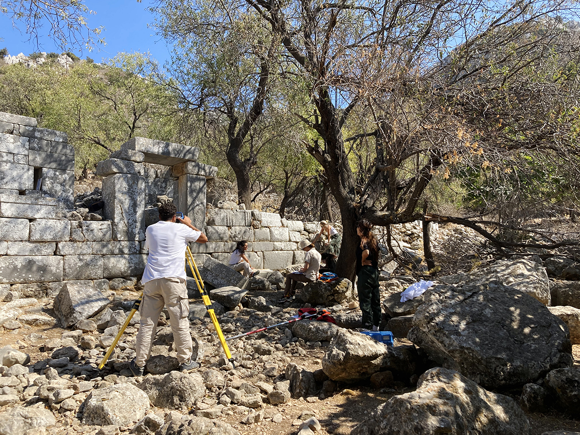
Our aim is to identify the structures after the surface survey in and around the Phoenix Ancient City and document the structures at specified scales.
This documentation is important to observe the development process and the plan organization of the city, and it will also be used for analyses that will be conducted after the archaeological survey.
Besides these, it will serve as a solid foundation for projects that will be developed in the future, both at the building scale and the urban scale.
Measured survey and documentation will be important for the transfer of knowledge to future generations, especially considering the destruction of existing structures.
Mehmet Serhat Aydemir started his career as an intern in a private firm in Izmir in 2016, while he was still a student. In a short time, he started to actively use the cartography tools related to his field and to process the spatial data collected in the field. In 2019, he graduated from İzmir Katip Çelebi University, Department of Map Engineering. After graduation, he continued to work in the field of Photogrammetry. He started his Master’s Degree on Photogrammetry at İzmir Katip Çelebi University in 2020. At the end of 2020, MESA continues to work by establishing Map Engineering.